Discover 3 Innovative Uses of Drones in Minnesota
Drones are more than spaceship-shaped robotic toys that take pictures. While the consumer market for drones is growing by leaps and bounds - just stroll the aisles of your local electronics store - commercial, government and scientific use of drones make up more than 60 percent of the drone industry's revenue due to the high price tags of more advanced technologies, according to The Economist. And the number of sectors experimenting with drones grows every year.
If the drone industry had a single resume, it would show a wild range of uses for unmanned aerial vehicles (UAVs), including pizza delivery, emergency response, agricultural studies, military surveillance, disaster relief and conservation, among a slew of other test cases.
Twin Cities PBS teamed up with the Minnesota Department of Transportation (MnDOT) to showcase some of the more innovative uses of drone technology in the state.
Using Drones to Inventory Forests
Once upon a time, people may have attached cameras to kites or balloons to get an aerial portrait of landscapes that are not easily traversed on foot. But today, the Minnesota Department of Natural Resources' Division of Forestry, which handles everything from inventorying forested areas to policy and stewardship, uses drone technology in a variety of ways. As drones fly over forests, they capture images that are then overlapped to create 3D digital surface models that add incredible detail to the division's forest inventory efforts. In the future, the Division of Forestry hopes to leverage drones to monitor forests, map areas and to create "multi-temporal looks" that help MNDNR staff understand how forests are changing over time.
Using Drones to Inspect Bridges
Every day, thousands of cars travel across Minnesota bridges - and many drivers take the health of those bridges for granted. But if there's one thing we learned from the 2007 collapse of the I-35W bridge just outside of downtown Minneapolis, it's that bridges do occasionally fail. For the last four years, however, MnDOT has used drones specifically made for structure inspection to scope out the integrity of bridges across the state. The crafts are small, lightweight and easy to fly - which makes them safer for inspectors and prevents the closure of roads. In addition, the images captured by drones are better in quality than those shot by handheld cameras, so inspectors can truly understand any signs of deterioration, including cracks in the concrete, rust spots, signs of water leakage and exposed rebars. After four years of drone use in the bridge inspection division of MnDOT, other areas of the organization are now interested in using drones to better understand infrastructure construction opportunities and surveying.
Using Drones for Animal Studies
In the past, the Minnesota Department of Natural Resources (MNDNR) relied on two primary methods to assess the state's white-tailed deer population so it could establish hunting season recommendations. In order to make an accurate prediction of the population, the organization needs vital information such as adult and fawn survival rates. But whether searching for fawns on foot or relying on expensive Vaginal Implant Transmitters that are implanted in the winter and then expelled when fawns are born in the spring, capturing the essential data proved cumbersome and inefficient. So the MNDNR farmland research group developed a pilot project to assess the efficacy of using drones equipped with thermal and color-imaging cameras to successfully locate deer fawns.
The goal? To use a thermal camera mounted on the drone that could locate heat signatures and then verify it using a color-imaging camera that was also mounted on the drone. After MNDNR biologists confirmed the heat signature was a fawn, biologists then walked to the GPS coordinates that were recorded by the drone. Biologists collected data such as weight, sex and various body measurements, and then placed an expandable GPS radio-collar around the fawn’s neck.
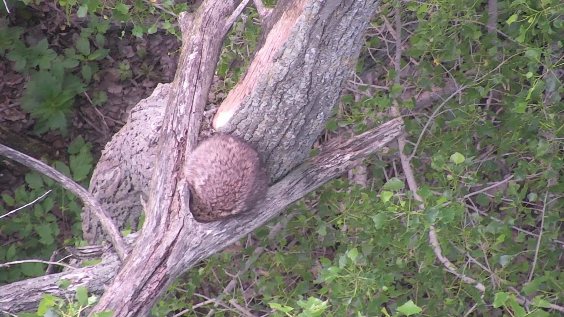
When the drones flew under optimal conditions, the project was a success; but when the day turned out to be sunny, the ground would heat up so swiftly that the thermal camera wasn't able to locate a fawn's heat signature. But the specificity of detail drone cameras captured did surprise those involved: The team was able to identify several other species, including raccoons (even one sleeping in a tree), rabbits, coyotes (and their pups), pheasants, ducks (with chicks) and muskrats. In the future, the MNDNR plans to use the data to improve Minnesota’s deer population estimate, inform hunting season recommendations and also to improve understanding of basic deer ecology in southern Minnesota.

Fawn videos were shot by Steve Fines at Fines Aerial, the Chief Drone Pilot for the MNDNR project.
Twin Cities PBS teamed up with the Minnesota Department of Transportation, the governing agency on all things transportation related, to bring you this story about innovative uses of drones.
Considering the purchase of a drone? If you've always wanted to weave in aerial footage to your storytelling projects, photographer and drone pilot Matt Mead offers "7 Tips on How to Tell a Top-Flight Story with a Drone."
And yet, there are some rules of the road when it comes to flying drones. We share them in “So you own a drone. Now what?”
